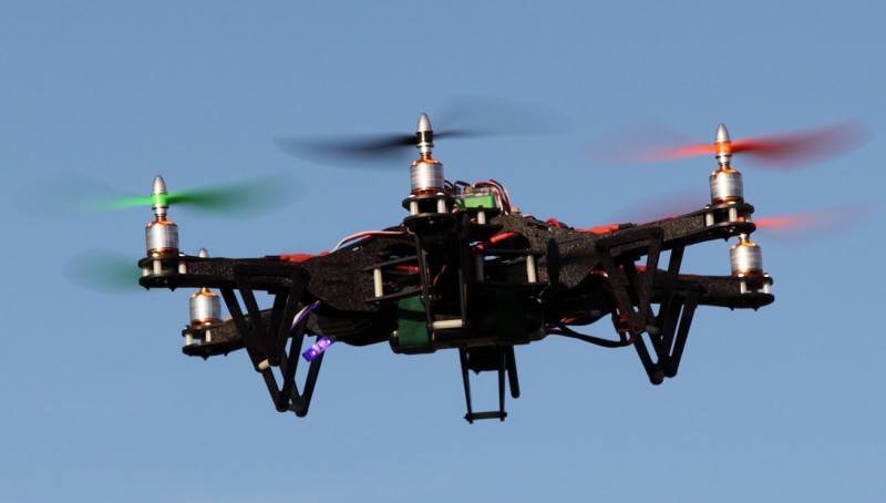
Move over Google Earth. The Drone may soon be invading the aerial photography kingdom. These drones don’t listen to private conversations, nor are they combative, but they can be a highly useful tool for Real Estate Agents!
Traditionally, aerial photos for Real Estate were taken by photographers in privately hired helicopters, and even more recently, Google Earth.
But a new twist may be coming onto the scene – remote operated Drones equipped with cameras. The operator is able to direct the drone around and above any piece of desired real estate.
If you haven’t already droned me out (pun intended), consider how an aerial view can be a worthy exposure. As a seller, you are able to showcase the property in its entirety, along with its surrounding areas. Favorable differences from your standard point-and-shoot camera might more effectively show yard size vs. house size, the leveling of the land, angles, quality of roofing, etc – These features may be hard to visualize unless seen from a bird’s eye view.
A house on the water is said to be valued around 3 times that of an inland home. The use of a drone that would show proximity to water, would be valuable.
But don’t go placing your orders just yet. In an effort to protect the surveillance of private properties, Texas law passed Sept. 1 states that using drones for real estate photography is illegal and punishable by a fine. It might be three years before the savvy camera-carrying unmanned aircraft can capture your property of choice.
Loophole? House Bill 912 Senate Version (1E) states that “Code include a person who: (8) with the consent of the individual captured in the image and the individual who owns or lawfully occupies the real estate property captured in the image.”
Here’s to hoping we’re at least many decades away from robots selling the properties, too!


